"Airscapes" of American and Foreign Areas
from National Archives
This series consists of aerial oblique, perpendicular, and some ground level photographs made or collected by the Aeronautical Division of the Signal Corps, the Air Service, the Air Corps, the Army Air Forces, and/or the USAF, showing prominent geographic and terrain features, cities, buildings, national shrines, historic areas, parades, earthquakes and flood disaster areas, airfields, and ports in the U.S. and abroad. Most photographs are captioned. The bulk is dated 1923 through 1945.
Georeferencing Progress
18.2% completeGeoreferenced Images Map
Images
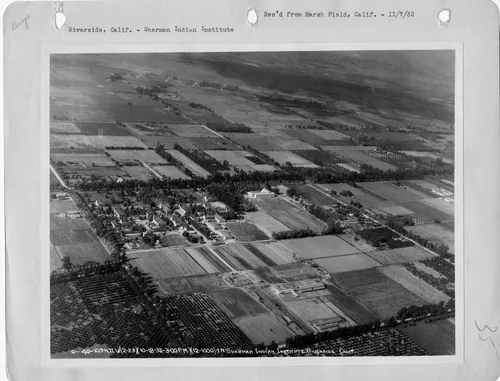
California - Riverside
1932-11-07
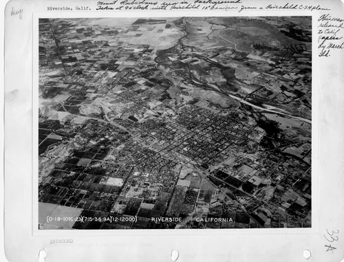
California - Riverside
1936-08-05
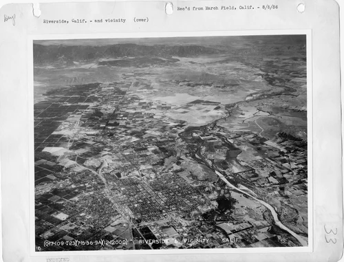
California - Riverside
1936-08-05
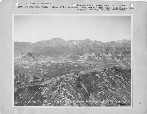
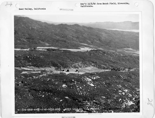
California - Reed Valley
1940-12-03
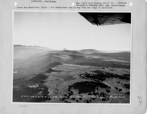
California - Santa Ana
1929-12-26
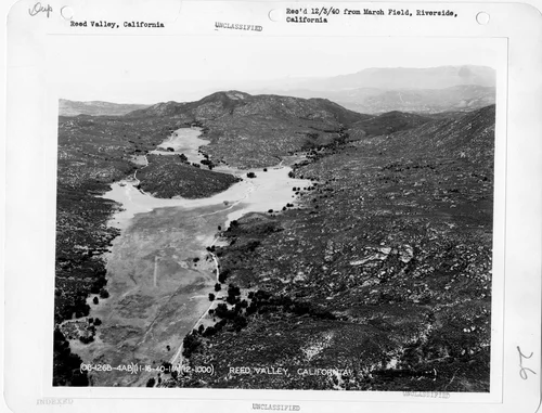
California - Reed Valley
1940-12-03
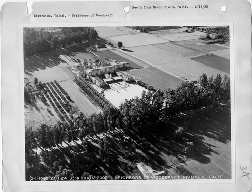
California - Riverside
1936-02-12
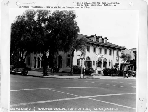
California - Riverside
1941-05-05