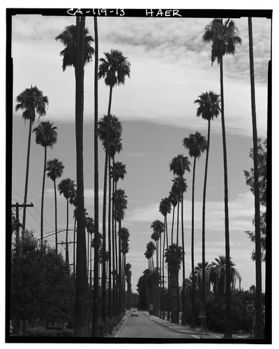
AERIAL VIEW OF VICTORIA AVENUE AND ORANGE GROVES - Arlington Heights Citrus Landscape, Southwestern portion of city of Riverside, Riverside, Riverside County, CA
Georeferenced
Current Georeference
Image Details
- Source:
- Library of Congress
- Collection:
- Historic American Buildings Survey
- Date:
- Documentation compiled after 1968
- Description:
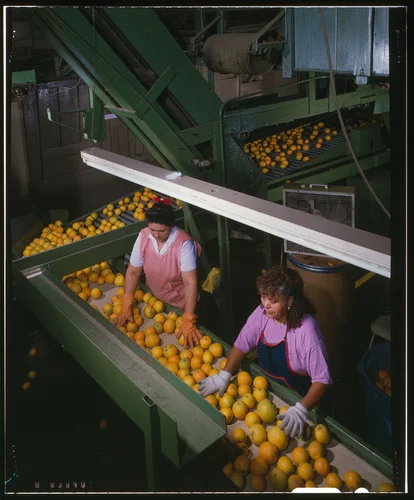
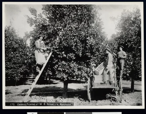
- Photo(s): 18 | Measured Drawing(s): 5 | Data Page(s): 38 | Photo Caption Page(s): 2 Subjects: landscapes, water supply, citrus fruit industry, irrigation, packing plants, orange orchards, railroads, agricultural land, real estate development, palms, immigrants, irrigation canals, conservation & restoration Locations: california, riverside, riverside county Notes: For additional information, see also California Citrus Heritage Recording Project (HAER CA-118). Significance: Arlington Heights is the last vestige of the once-vast citrus culture of Riverside, California. Although other citrus groves in the region have fallen in the course of suburban development, Arlington Heights continues to support the citrus industry on which the city was founded and is all that remains of this larger landscape. Unprocessed Field note material exists for this structure: N18 Survey number: HAER CA-119 Building/structure dates: ca. 1890 Initial Construction
- Source:
- Loading...
- License:
- United States Government Work
- Rating:
Polygonal Georeference Details
- By:
- Josiah White
- Date:
- May 8, 2026
- Confidence:
- High
- Validations:
- 0
Actions
This image has been marked as taken from above. Please log in to georeference this image.
Image Subjects
Timeline
All georeferencing activity and comments for this imageAerial Georeference submitted by Josiah White
May 8, 2026 7:33 PM
High Confidence
0 validations