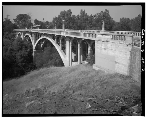
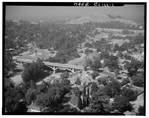
AERIAL VIEW OF VICTORIA BRIDGE AND ENVIRONS - Victoria Bridge, Spanning Tequesquite Arroyo, Riverside, Riverside County, CA
Georeferenced
Current Georeference
Image Details
- Source:
- Library of Congress
- Collection:
- Historic American Buildings Survey
- Date:
- Documentation compiled after 1968
- Description:
- Photo(s): 9 | Data Page(s): 7 | Photo Caption Page(s): 1 Subjects: citrus fruit industry, concrete piers, concrete balustrades, concrete arch bridges, transportation, vehicular bridges, street lights Locations: california, riverside, riverside county Notes: For additional information, see also California Citrus Heritage Recording Project (HAER CA-118). Significance: The Victoria Bridge was constructed to provide a convenient route between the agricultural and business areas of Riverside, becoming a vital link for transportation from the citrus groves to the packing houses. The bridge is also considered to be one of Riverside's most prominent architectural and engineering features. Survey number: HAER CA-122 Building/structure dates: 1928 Initial Construction Building/structure dates: 1980 Subsequent Work
- Source:
- Loading...
- License:
- United States Government Work
- Rating:
Polygonal Georeference Details
- By:
- Josiah White
- Date:
- Apr 14, 2026
- Confidence:
- High
- Validations:
- 0
Actions
This image has been marked as taken from above. Please log in to georeference this image.
Image Subjects
Timeline
All georeferencing activity and comments for this imageAerial Georeference submitted by Josiah White
Apr 14, 2026 5:15 PM
High Confidence
0 validations