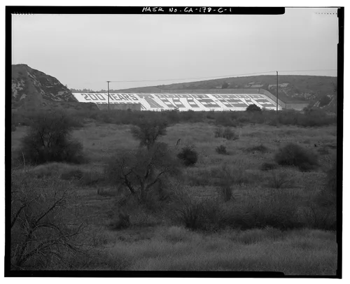
'SANTA ANA RIVER IN SANTA ANA CANYON. ORANGE COUNTY.' This is an oblique aerial view to the northeast taken from the northeast extremity of the canyon, showing, in the middle distance, the confluence of Chino Creek and the Santa Ana River, site of the future Prado Dam. File number written on negative: R & H 80 026. - Prado Dam, Santa Ana River near junction of State Highways 71 & 91, Corona, Riverside County, CA
Available
Image Details
- Source:
- Library of Congress
- Collection:
- Historic American Buildings Survey
- Date:
- Documentation compiled after 1968
- Description:
- Photo(s): 7 | Data Page(s): 110 | Photo Caption Page(s): 2 Subjects: dams, flood control Locations: corona, california, riverside county Notes: Significance: The construction of Prado Dam was a significant event in the history of flood control in southern California and specifically Orange County. The Dam has played a vital role in the economies and development of Orange, Riverside, and San Bernardino Counties. Prado Dam is a distinctive and recognizable representative of its type, period, and method of construction, of worthy design and retaining unusual integrity. At the time of its construction it was the largest earthen dam in the United States. The attention to architectural detail, particularly the control house and control tower, demonstrates that government structures can be aesthetically pleasing and simple at the same time. Unprocessed Field note material exists for this structure: N402 Survey number: HAER CA-178 Building/structure dates: after. 1937- before. 1942 Initial Construction
- Source:
- Loading...
- License:
- United States Government Work
- Rating: