Colton residence
Georeferenced
Current Georeference
Image Details
- Source:
- Los Angeles Public Library
- Collection:
- Security Pacific National Bank Collection
- Date:
- 1912
- Description:
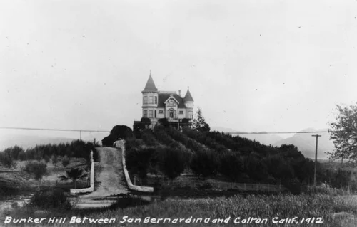
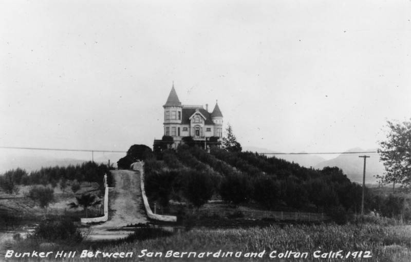
- Postcard view of a Victorian style residence on Bunker Hill, between San Bernardino and Colton, in 1912. A driveway leads up to the house, and an orchard stands in front. (Written on the back is a statement that this was the crossroads of fur traders, and that the Mexican government approved entry to California here. A Greek Orthodox church was built on this location in 1972. A reference is made to "The Story of San Bernardino County" by W.W. Robinson.)
- Source:
- Loading...
- License:
- All Rights Reserved
- Rating:
Georeference Details
- By:
- Josiah White
- Date:
- Jun 8, 2026
- Total:
- 1 submission
- Confidence:
- Medium
- Validations:
- 0
Actions
This image has been georeferenced. Login with OpenStreetMap to submit a correction.
Image Subjects
Timeline
All georeferencing activity and comments for this imageGeoreferenced by Josiah White Current
Jun 8, 2026 12:05 AM
34.080233, -117.305875
150°
Medium Confidence
0 validations