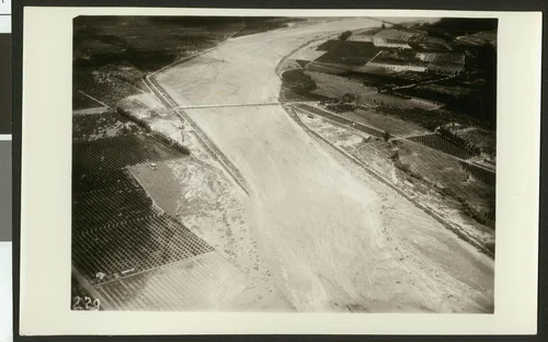
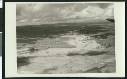
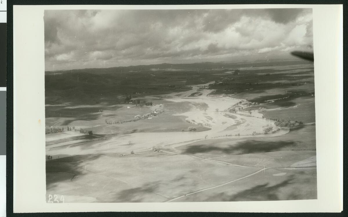
Aerial view of flooding of the Santa Ana River near Colton, showing flooding over roads, ca.1930
Available
Image Details
- Source:
- University of Southern California
- Collection:
- California Historical Society Collection, 1860-1960
- Date:
- circa 1930
- Description:
- Photograph of an aerial view of flooding of the Santa Ana River near Colton, showing flooding over roads, ca.1930. The wide river flows from the left up to the background on the right. The excess water flows up over the trees which line the banks and leaks into the nearby fields. Further down it flows over three separate roads which connect the two sides. Clouds are daunting over the untouched mountains in the distance.
- Source:
- Loading...
- License:
- Public Domain Mark
- Rating: