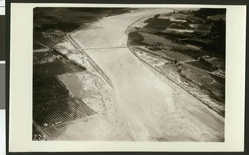
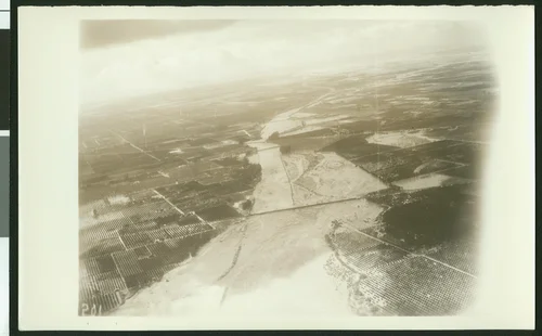
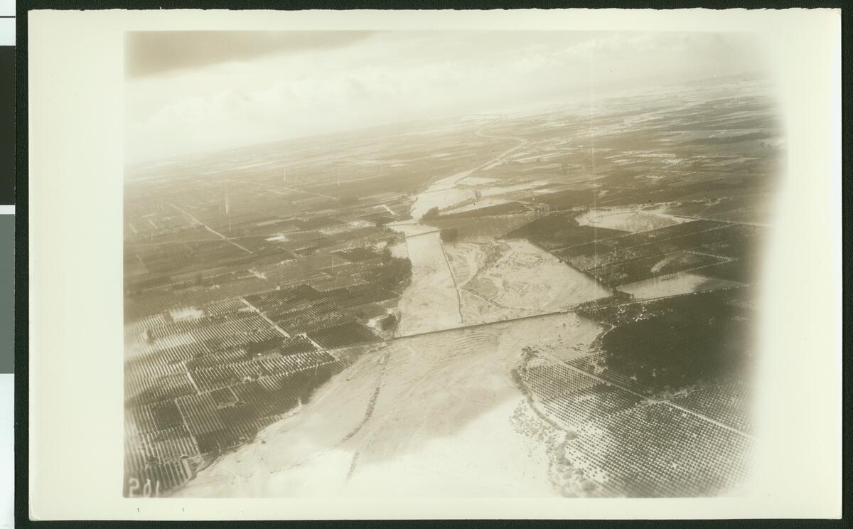
Aerial view of flooding near Colton of the Santa Ana River, showing flooding over fields, ca.1930
Available
Image Details
- Source:
- University of Southern California
- Collection:
- California Historical Society Collection, 1860-1960
- Date:
- circa 1930
- Description:
- Photograph of an aerial view of flooding near Colton of the Santa Ana River, showing flooding over fields, ca.1930. The Santa Ana River flows down the center of Colton and drowns the nearby fields with excess water. The squares of crops are brightened by the shimmering water which pumps between the rows. Further down the river, three bridges are made useless by the height of the flooding river.
- Source:
- Loading...
- License:
- Public Domain Mark
- Rating:
Actions
This image has been marked as taken from above. Please log in to georeference this image.