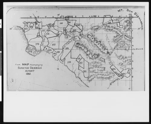
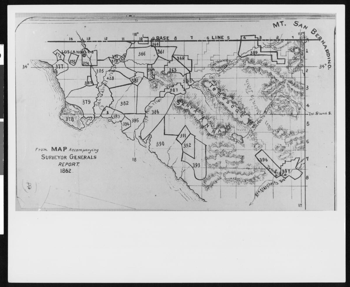
Map of the counties of Los Angeles, Orange, Riverside and San Bernardino from the Surveyor General's report of 1862
Will Not Georeference
Image Details
- Source:
- University of Southern California
- Collection:
- California Historical Society Collection, 1860-1960
- Date:
- 1862
- Description:
- Photograph of a map of the counties of Los Angeles, Orange, Riverside and San Bernardino from the Surveyor General's report of 1862, [s.d.]. Various shaped outlines are enscribed with numbers, which appear to indicate enumeration districts. Mountain ranges are also indicated.
- Source:
- Loading...
- License:
- Public Domain Mark
- Rating: