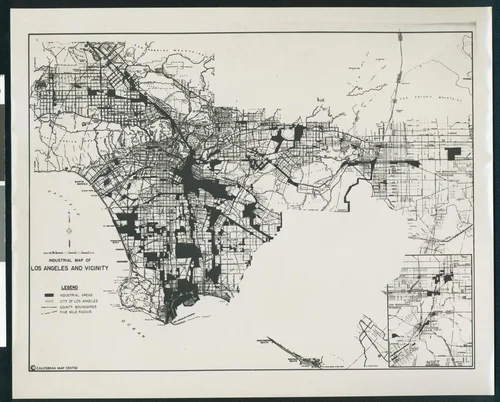
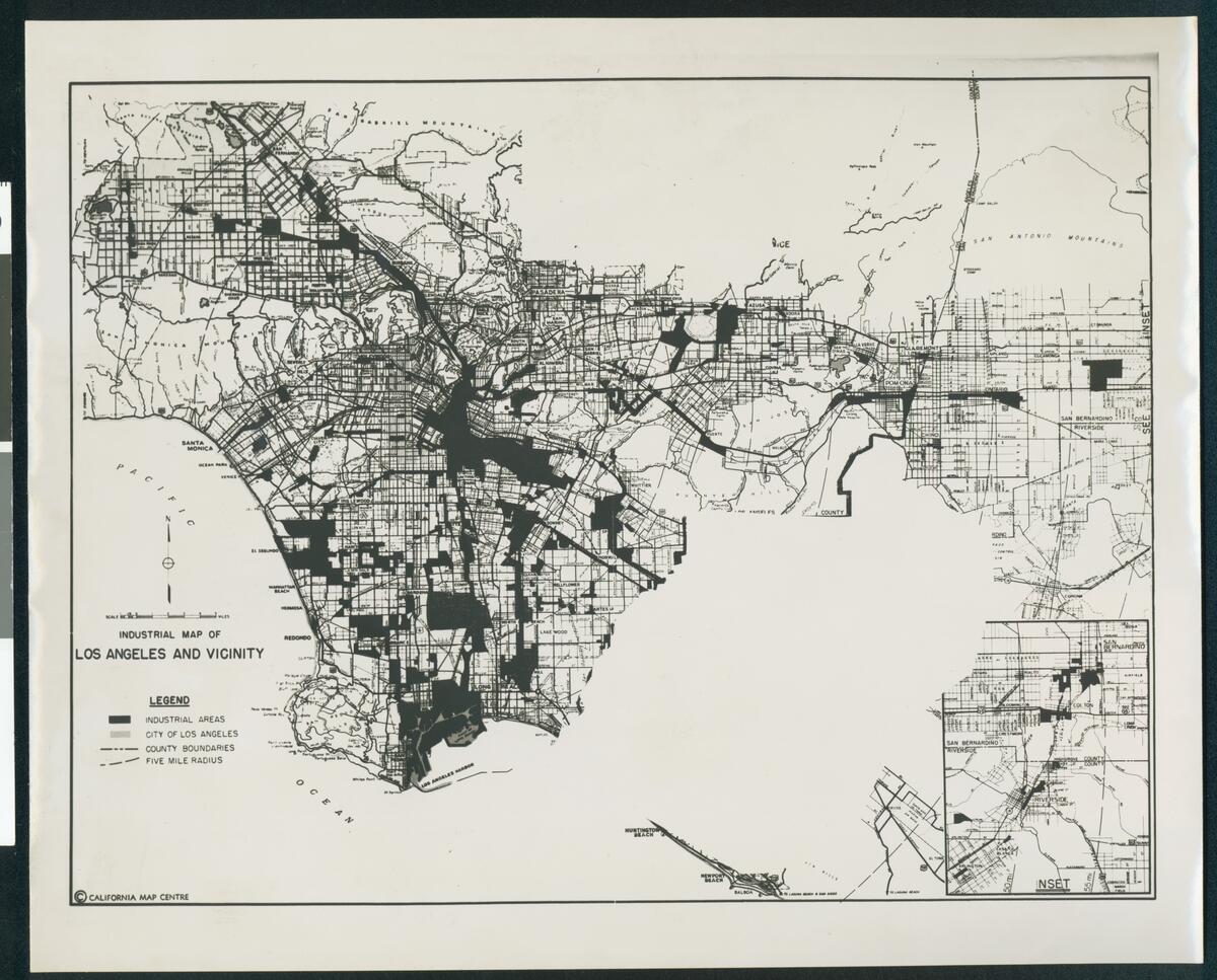
Map of industry concentrations in Los Angeles County and portions of San Bernardino and Riverside Counties prepared by California Map Centre, ca.1950
Will Not Georeference
Image Details
- Source:
- University of Southern California
- Collection:
- California Historical Society Collection, 1860-1960
- Date:
- circa 1950
- Description:
- Photograph of a map of industry concentrations in Los Angeles County and portions of San Bernardino and Riverside Counties prepared by California Map Centre, ca.1950. Major streets and neighborhoods are indicated, and an inset of the San Bernadino County/Riverside County line is included.
- Source:
- Loading...
- License:
- Public Domain Mark
- Rating: