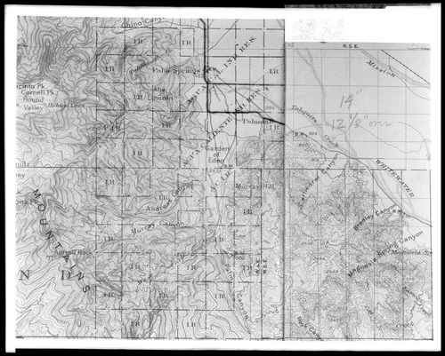
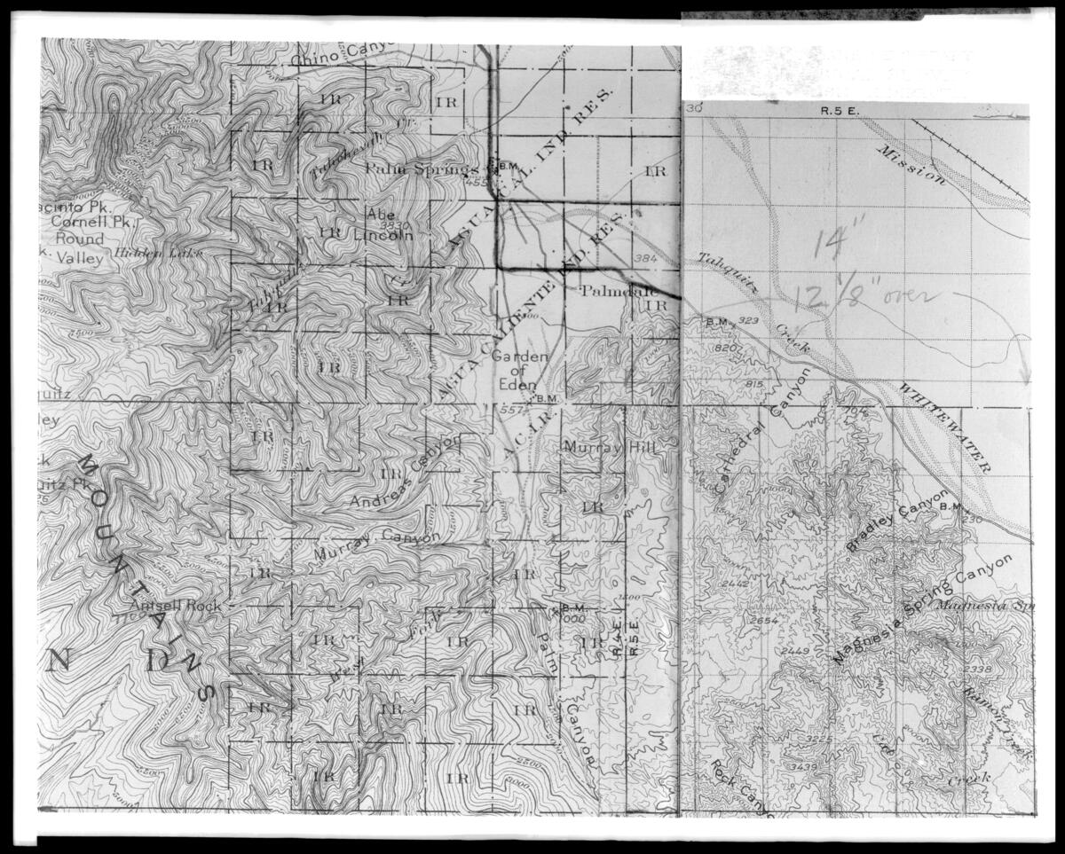
Topographical map of the Palm Springs District, ca.1920
Will Not Georeference
Image Details
- Source:
- University of Southern California
- Collection:
- California Historical Society Collection, 1860-1960
- Date:
- circa 1920
- Description:
- Photgraph of a topographical map of the Palm Springs District, ca.1920. The city of Palm Springs is at the upper middle part of the map, which includes many canyons and cities. The map itself is separated into a grid, and different elevations are shown with different outlined shapes.
- Source:
- Loading...
- License:
- Public Domain Mark
- Rating: