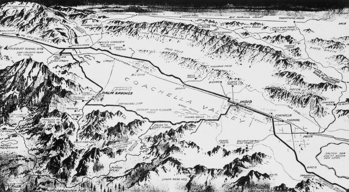
Map of the Coachella Valley, ca.1930
Will Not Georeference
Image Details
- Source:
- University of Southern California
- Collection:
- California Historical Society Collection, 1860-1960
- Date:
- circa 1930
- Description:
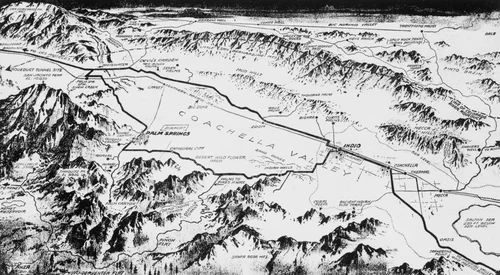
- Photograph of a map of the Coachella Valley, ca.1930. The map shows a thick black line denoting a main road running through the depression at the center of the two mountain ranges pictured in the foreground and background. The map lists Palm Springs, the Memet Reservoir, the Mud Hills, Indio, Coachella, Thermal, Mecca, the Santa Rosa Mountains and the Little San Bernardino Mountains among numerous other natural and man-made features.
- Source:
- Loading...
- License:
- Public Domain Mark
- Rating: