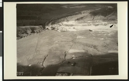
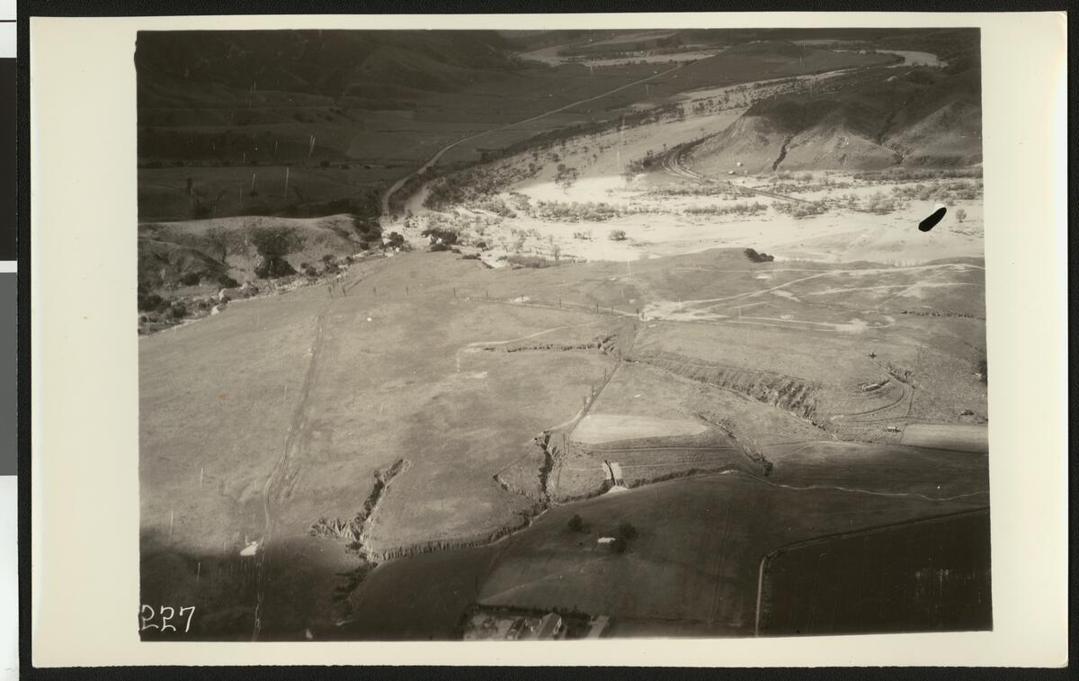
Aerial view of flooding of the Santa Ana River near Corona, showing flooding over a winding road, ca.1930
Available
Image Details
- Source:
- University of Southern California
- Collection:
- California Historical Society Collection, 1860-1960
- Date:
- circa 1930
- Description:
- Photograph of an aerial view of flooding of the Santa Ana River near Corona, showing flooding over a winding road, ca.1930. The water flows over the trees at center and washes through the road, which winds around the dirt hill on the far right. Streams from the larger portion of water seep through the cracks in the dry terrain in the foreground where electrical poles line a barely-visible road.
- Source:
- Loading...
- License:
- Public Domain Mark
- Rating:
Actions
This image has been marked as taken from above. Please log in to georeference this image.