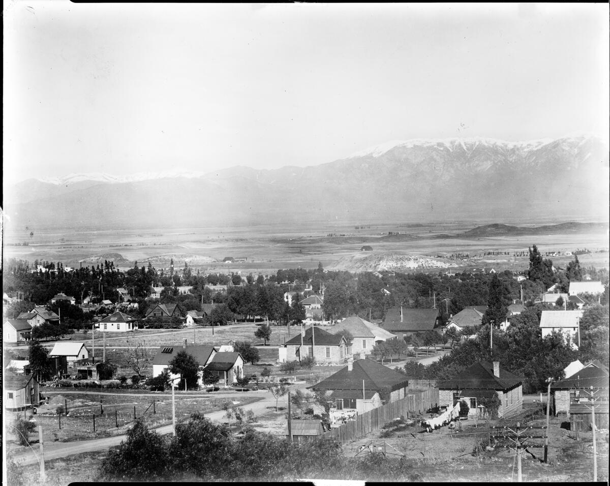
Panoramic view of Corona "from the high school", ca.1908
Georeferenced
Current Georeference
Image Details
- Source:
- University of Southern California
- Collection:
- California Historical Society Collection, 1860-1960
- Date:
- circa 1908
- Description:
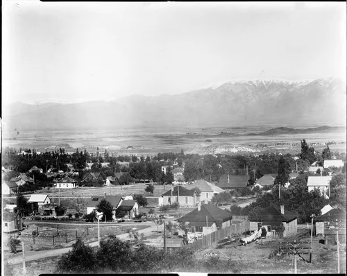
- Photograph of a panoramic view of Corona "from the high school", ca.1908. Below are homes spaciously spread out across the landscape. Trees are still plentiful in this small town. Beyond the town, the land appears more vacant. Snowcapped mountains are visible in the distance.
- Source:
- Loading...
- License:
- Public Domain Mark
- Rating:
Georeference Details
- By:
- Josiah White
- Date:
- Jun 1, 2026
- Total:
- 1 submission
- Confidence:
- High
- Validations:
- 0
Actions
This image has been georeferenced. Login with OpenStreetMap to submit a correction.
Image Subjects
Timeline
All georeferencing activity and comments for this imageGeoreferenced by Josiah White Current
Jun 1, 2026 9:21 PM
33.868758, -117.567980
348°
High Confidence
0 validations