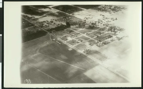
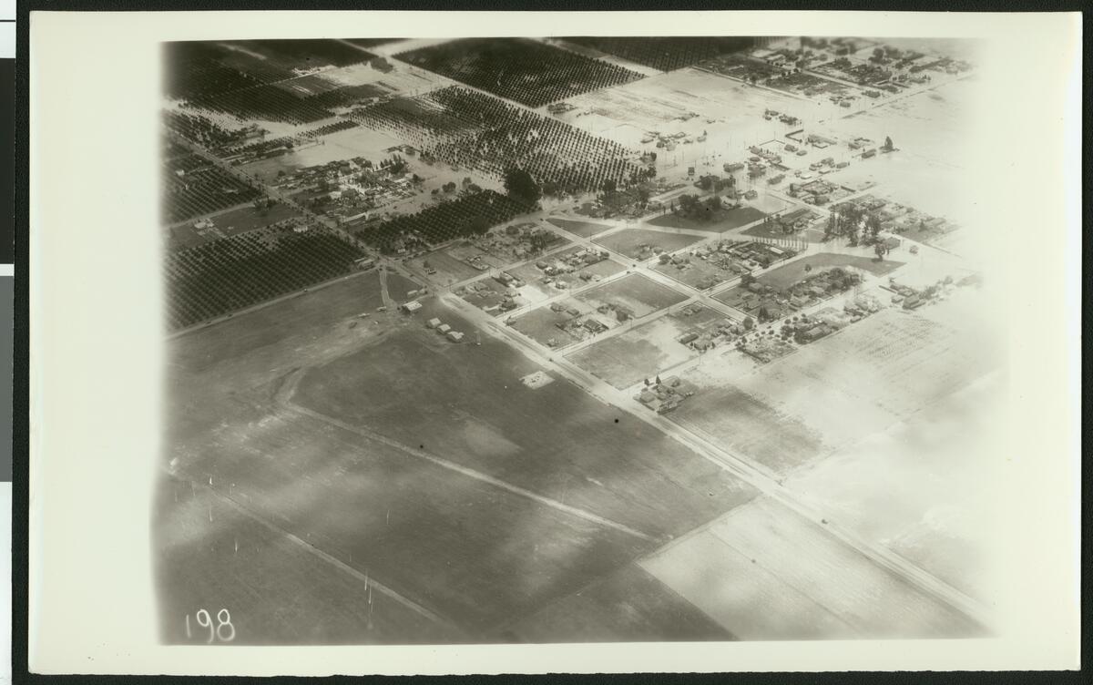
Aerial view of flooding of the Santa Ana River near Corona, ca.1930
Available
Image Details
- Source:
- University of Southern California
- Collection:
- California Historical Society Collection, 1860-1960
- Date:
- circa 1930
- Description:
- Photograph of an aerial view of flooding of the Santa Ana River near Corona, ca.1930. Water, which appears to originate on the right, pumps through the streets of the city. It puddles in the large fields and yards as it swallows the surrounding trees. Rows of crops lie in the background on the left with puddles surrounding the specks of plants.
- Source:
- Loading...
- License:
- Public Domain Mark
- Rating:
Actions
This image has been marked as taken from above. Please log in to georeference this image.