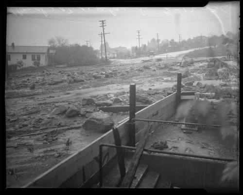
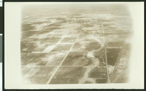
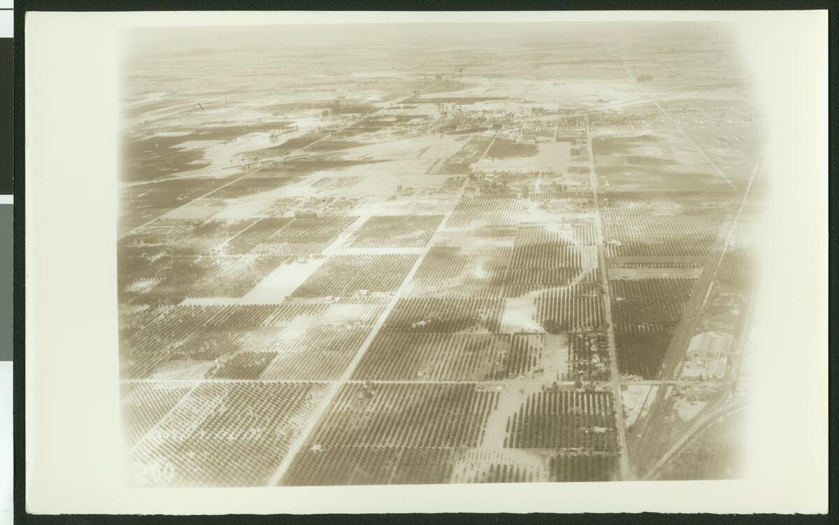
Aerial view of Arlington during a flood, ca.1930
Available
Image Details
- Source:
- University of Southern California
- Collection:
- California Historical Society Collection, 1860-1960
- Date:
- circa 1930
- Description:
- Photograph of an aerial view of Arlington, ca.1930. The dim water cuts through the squares of crops at center from the river in the background. The roads have become streams of water and many of the rows of crops are hidden beneath rivers. The overflowing water appears to blanket the entire city.
- Source:
- Loading...
- License:
- Public Domain Mark
- Rating:
Actions
This image has been marked as taken from above. Please log in to georeference this image.