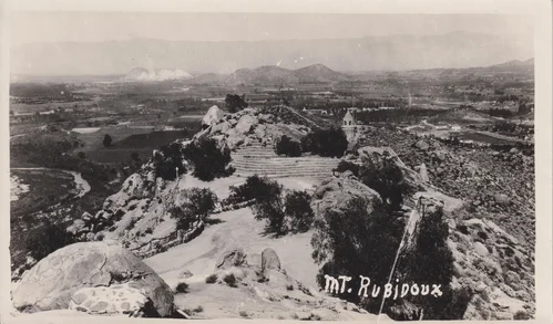
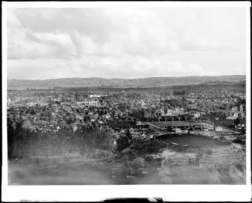
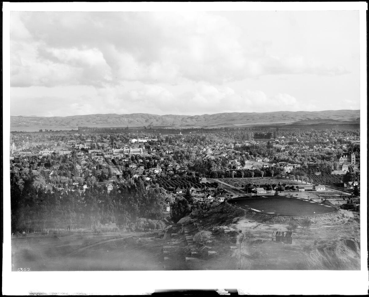
Panoramic view of Riverside from Mount Rubidoux, ca.1906-1910
Georeferenced
Current Georeference
Image Details
- Source:
- University of Southern California
- Collection:
- California Historical Society Collection, 1860-1960
- Date:
- circa 1906/1910
- Description:
- Photograph of a panoramic view of Riverside from Mount Rubidoux, ca.1906-1910. Many residential houses cover the areas around the city (industrial areas), which can be seen in the center. At left is a road that circles around the mountain (foreground). Trees are scattered across the cityscape. Mountains are visible in the distance (at left). CHS-5361: Legible signs include: "The Arlington Apartments", "Roses Livery". CHS-5362: Legible signs include: "The National Ice Co.", "Sir[...] Sons [...]", "Earl Fruit Co.".
- Source:
- Loading...
- License:
- Public Domain Mark
- Rating:
Georeference Details
- By:
- Josiah White
- Date:
- Jun 25, 2026
- Total:
- 1 submission
- Confidence:
- Medium
- Validations:
- 0
Actions
This image has been georeferenced. Login with OpenStreetMap to submit a correction.
Timeline
All georeferencing activity and comments for this imageGeoreferenced by Josiah White Current
Jun 25, 2026 9:04 PM
33.985953, -117.387905
128°
Medium Confidence
0 validations