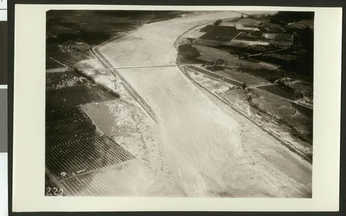
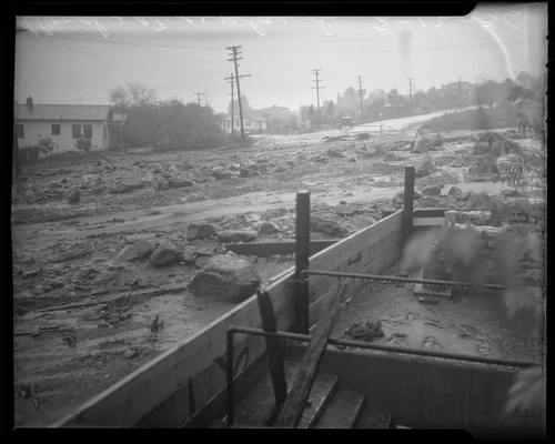
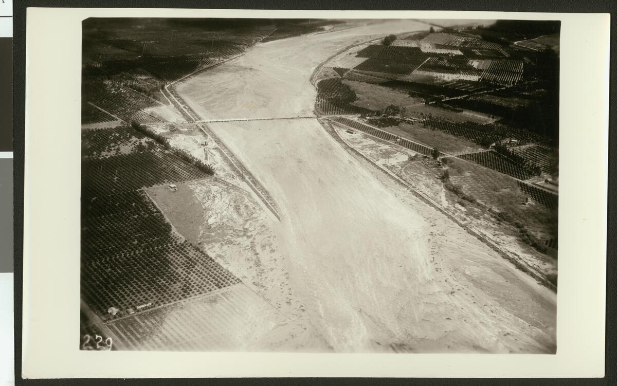
Aerial view of flooding of the Santa Ana River, showing flooding over roads and crops, ca.1930
Available
Image Details
- Source:
- University of Southern California
- Collection:
- California Historical Society Collection, 1860-1960
- Date:
- circa 1930
- Description:
- Photograph of an aerial view of flooding of the Santa Ana River, showing flooding over roads and crops, ca.1930. The wide river flows beneath a bridge at center and widens over the road which lines the left side in the foreground. The water soaks into the soil just beyond the road and pumps through the rows of crops on the far left. Excess water puddles on the right bank of the river where it soaks the small trees on the river's edge. The river continues to devastate as it curves to the right in the background.
- Source:
- Loading...
- License:
- Public Domain Mark
- Rating: