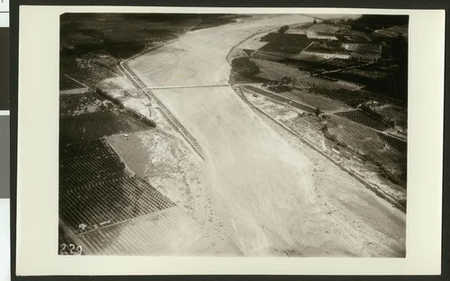
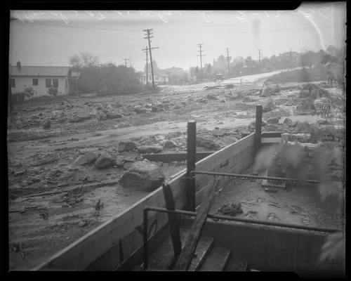
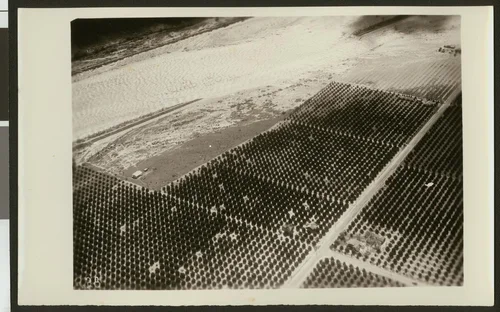
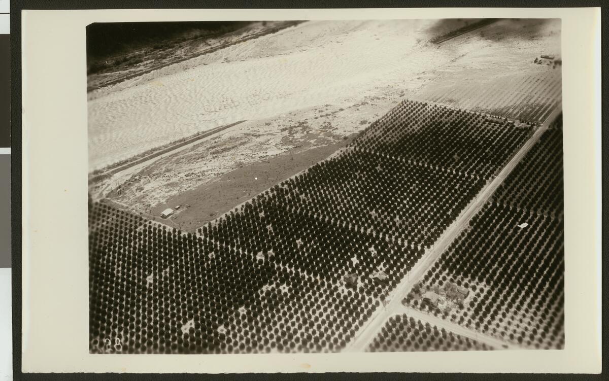
Aerial view of flooding of the Santa Ana River, showing a break in a levee, ca.1930
Will Not Georeference
Image Details
- Source:
- University of Southern California
- Collection:
- California Historical Society Collection, 1860-1960
- Date:
- circa 1930
- Description:
- Photograph of an aerial view of flooding of the Santa Ana River, showing a break in a levee, ca.1930. The river widens and washes over the road in the background as it leaks into the fields at center. A thin road runs through the rows of crops from the foreground at center to the drowned crops in the background on the right.
- Source:
- Loading...
- License:
- Public Domain Mark
- Rating: