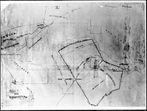
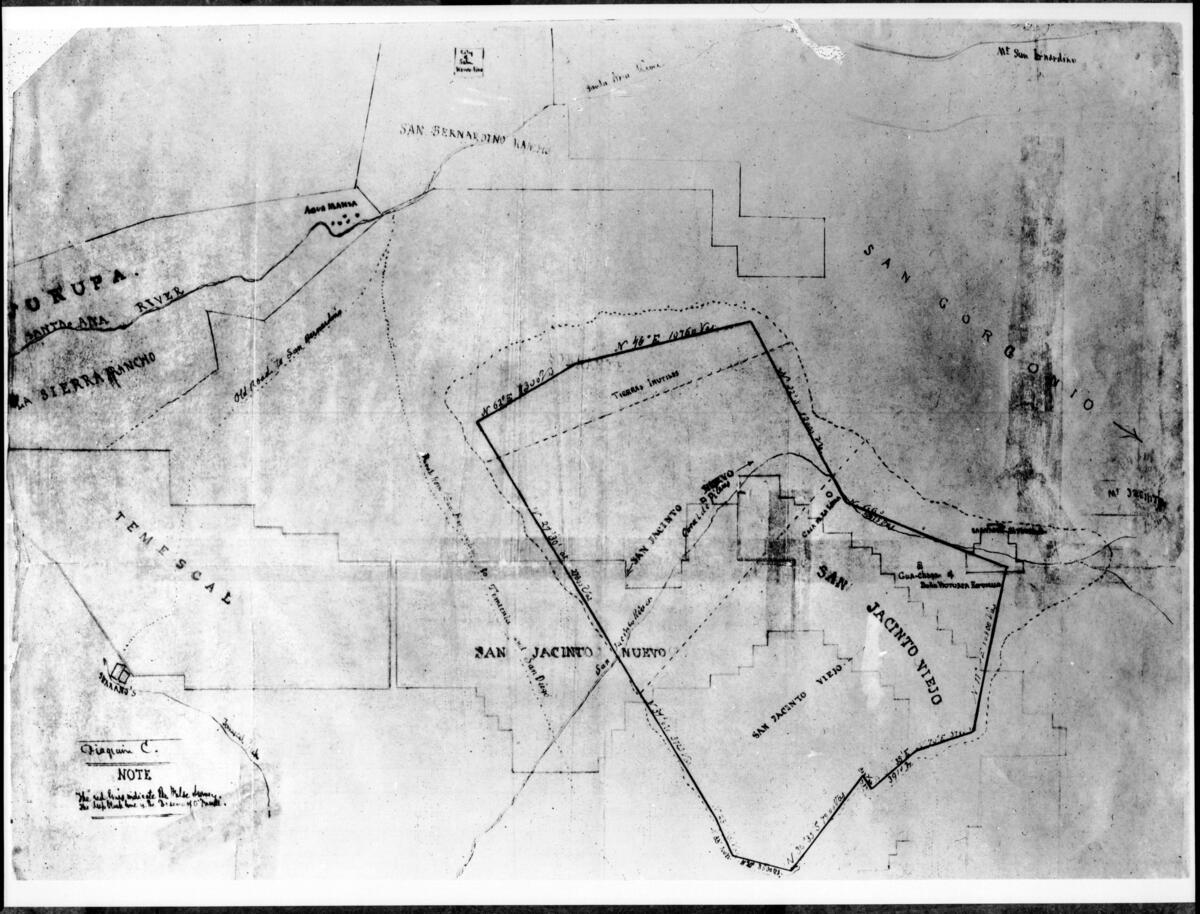
Map of the San Jacinto area, Riverside, ca.1840
Will Not Georeference
Image Details
- Source:
- University of Southern California
- Collection:
- California Historical Society Collection, 1860-1960
- Date:
- 1835/1845
- Description:
- Photograph of a map of the San Jacinto area, Riverside, ca.1840. The line drawing of the map shows surveyors' measurements and depicts San Jacinto Nueva and Viejo, San Gorgonio, Temescal the San Bernardino Ranch and the Sierra Rancho. A addendum at the bottom left hand corner of the map reads "NOTE The red lines indicate the False Survey. The deep black lines [...]" as well as "Diagram C.". Picture file card reads: "From G. Beattie".
- Source:
- Loading...
- License:
- Public Domain Mark
- Rating: