The A.T. Hayes
Georeferenced
Current Georeference
Image Details
- Source:
- University of Southern California
- Collection:
- California Historical Society Collection, 1860-1960
- Date:
- circa 1910
- Description:
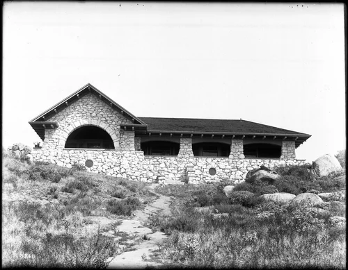
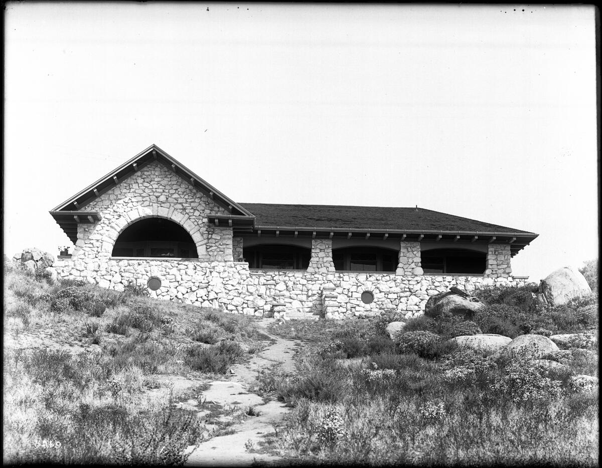
- Photograph of the A.T. Hayes (H.T. Hayes?) mountainside bungalow constructed of rock, Burnham architecture(?), Riverside, ca.1910. The single-story building has an arched opening in the front gable. Connected to the gable is an arcade. The walls of both the arcade and the gable are constructed of stone masonry. Two circular holes cut through the walls (one in the gable and one in the arcade). The inclined roof is covered with shingled tiles. The eaves of the extended roof are visible. A stairway in the center of the façade leads to the porch. Shrubs cover the front lawn. Several large boulders cover the yard (at right).
- Source:
- Loading...
- License:
- Public Domain Mark
- Rating:
Georeference Details
- By:
- Josiah White
- Date:
- Jun 24, 2026
- Total:
- 1 submission
- Confidence:
- High
- Validations:
- 0
- Notes:
-
3611 Mount Rubidoux Drive
Actions
This image has been georeferenced. Login with OpenStreetMap to submit a correction.
Timeline
All georeferencing activity and comments for this imageGeoreferenced by Josiah White Current
Jun 24, 2026 2:25 AM
33.989754, -117.384506
325°
High Confidence
0 validations
3611 Mount Rubidoux Drive