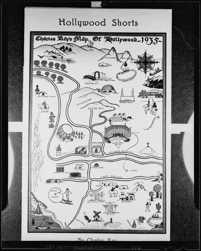
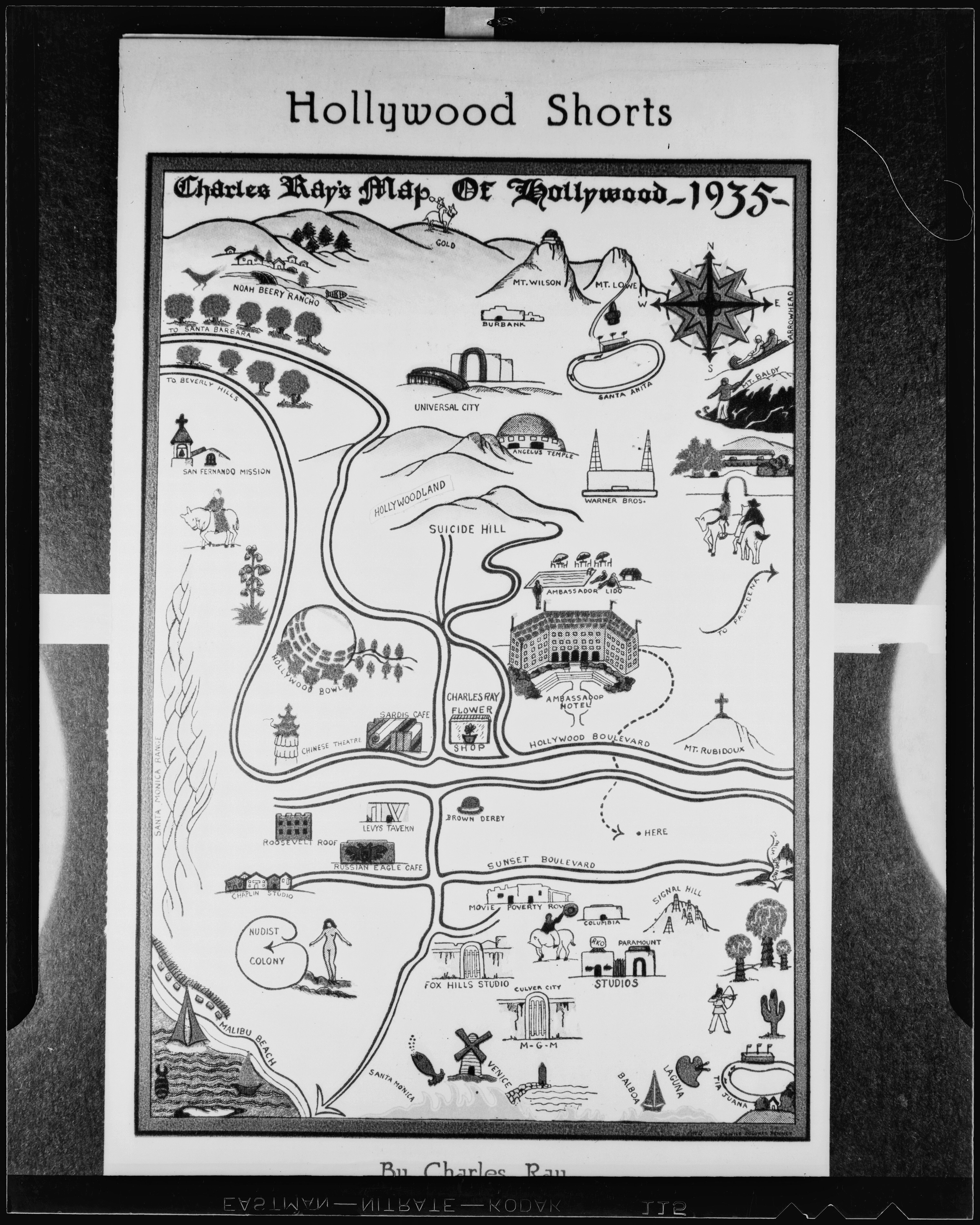
Illustrated map of the Hollywood environs by Charles Ray, 1935
Will Not Georeference
Image Details
- Source:
- University of California, Los Angeles
- Collection:
- Los Angeles Times Photographic Collection
- Date:
- May 26, 1936
- Description:
- Map text: Hollywood Shorts. Charles Ray's Map of Hollywood 1935. Noah Beery Rancho. Gold. Mt. Wilson. Ambassador Hotel. Mt. Lowe. Burbank. Santa Anita. Arrowhead. Mt. Baldy. Universal City. To Santa Barbara. To Beverly Hills. Angelus Temple. Hollywoodland. Suicide Hill. Warner Bros. San Fernando Mission. Ambassador Lido. So Pasadena. Chinese Theatre. Cardis cafe. Charles Ray Flower Shop. Hollywood Boulevard. Mr. Rubidoux. Santa Monica Ranch. Roosevelt Roof. Levys Tavern. Russian Eagle cafe. Brown Derby. Sunset Boulevard. Movie Poverty Row. Columbia. Signal Hill. Fox Hills Studio. Nudist Colony. RKO. Paramount. Culver City. M-G-M. Venice. Santa Monica. Laguna. Tia Juana. To Palm Springs.
- Source:
- Loading...
- License:
- CC BY 4.0
- Rating: