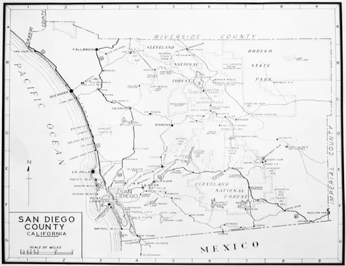
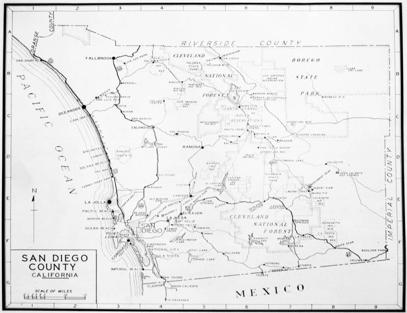
San Diego County map
Will Not Georeference
Image Details
- Source:
- Los Angeles Public Library
- Collection:
- Works Progress Administration Collection
- Date:
- 1937
- Description:
- Photo of a 1937 map of San Diego County showing cities, towns and connecting highways. Hash-marked borders for Orange County and Riverside County appear at the top, Imperial County on the right, Mexico below, and the Pacific Ocean on the left. If you look closely, you will notice that land for the Cleveland National Forest extends from the top, near the Riverside County border, to the bottom, near the Mexican border. Another large land area is that of the Borego State Park on the corner where Riverside County and Imperial County borders meet. Photo dated: October 14, 1937.
- Source:
- Loading...
- Rating: