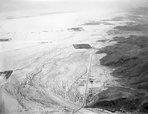
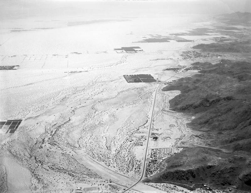
Palm Springs flood control area, looking south
Available
Image Details
- Source:
- Los Angeles Public Library
- Collection:
- Kelly-Holiday Mid-Century Aerial Collection
- Date:
- 1956
- Description:
- Aerial view of a Palm Springs flood control area; view is looking south toward Cathedral City. Cathedral City, which was incorporated in 1981, is sandwiched between Palm Springs to the north, and Rancho Mirage to the south. The total area of the city is 19.5 square miles, and 2006 population was estimated at 48,000. This area falls under Zone 6 of the Riverside County Flood Control and Water Conservation District. Photographed for Palm Springs Capitol Co. on June 16, 1956.
- Source:
- Loading...
- Rating:
Actions
This image has been marked as taken from above. Please log in to georeference this image.