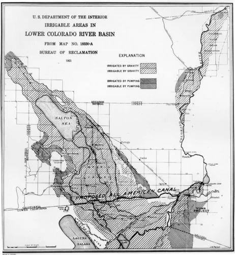
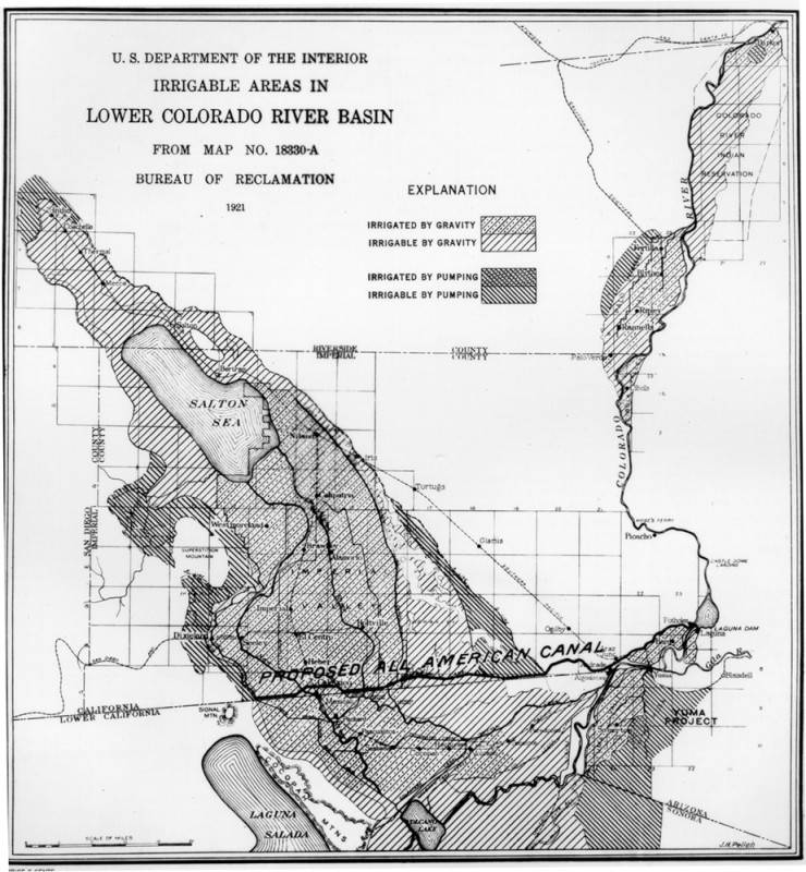
Irrigation map of the Colorado River Basin
Will Not Georeference
Image Details
- Source:
- Los Angeles Public Library
- Collection:
- Security Pacific National Bank Collection
- Date:
- 1921
- Description:
- Originally named Boulder Dam, it was renamed Hoover Dam in 1946. Shown here is a an irrigation map by the Department of the Interior Bureau of Reclamation. It includes parts of Riverside and Imperial Counties (Calif.) and Lower California (now Baja). It traces the Colorado River and the proposed All American Canal and marks land which is already irrigated and land they expect to irrigate in the future.
- Source:
- Loading...
- Rating: